Repeatable Vantage Points
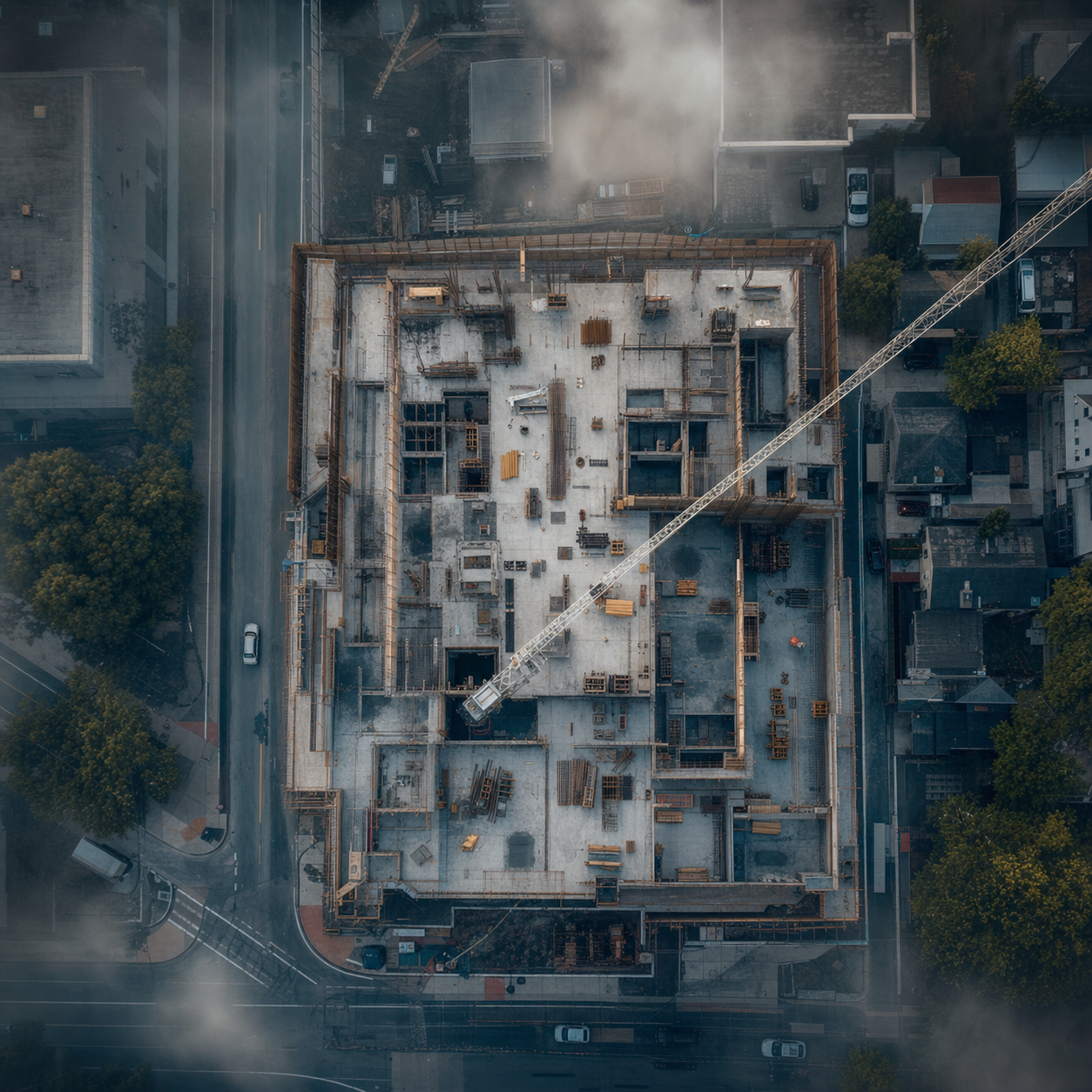
GPS coordinates, altitude and camera angle are logged on the first visit and flown identically every time after. Stack the images and the build animates itself.
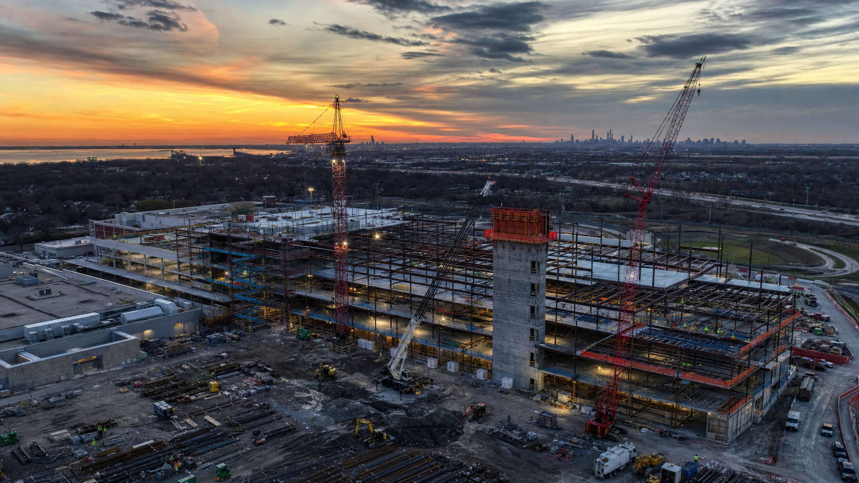
Recurring aerial documentation flown on the same path every visit, so the images line up month over month. Dated deliverables your owner, lender and GC can all read from — and a record that settles questions long after the trades have left.
The value is not any single photo. It is the same angle, the same altitude, the same framing, captured on a schedule — so the sequence becomes evidence rather than a gallery.
GPS coordinates, altitude and camera angle are logged on the first visit and flown identically every time after. Stack the images and the build animates itself.
Every set arrives in a dated folder with the flight log. That is the format owners, lenders and insurers ask for when they want to see where the project stood on a given date.
When a subcontractor and a GC disagree about what was in place and when, a time-stamped aerial set answers it. This is the quiet reason most repeat clients keep the flights on the calendar.
An edited clip per visit for the owner update, the investor deck or the project newsletter — so the documentation earns its keep beyond the archive.
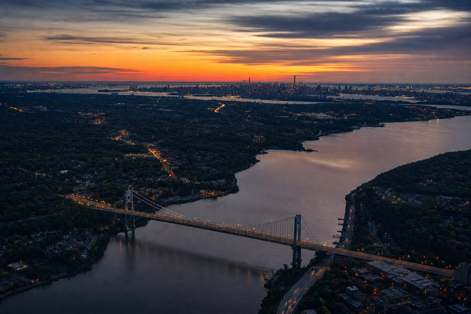
Aerial coverage of active sites across the tri-state area.
Sets are delivered by dated cloud folder with the flight log attached, so the sequence is auditable end to end.
The first visit does the hard work. Every visit after is a repeat.
We agree the vantage points that matter — the elevations, the approaches, the areas under dispute risk. I log each one.
LAANC authorization filed where the site sits in controlled airspace, which covers most of the metro area. I handle the filing.
Same path, same altitude, same framing, on the cadence we set. Monthly for most builds, biweekly for fast-moving sites.
Full-resolution stills, an edited progress clip and the raw files land in a dated folder within a few business days of each visit.
Monthly is the standard cadence for most builds. Fast-moving sites or projects with lender reporting requirements often go biweekly. Anything less than monthly and the sequence starts to skip visible phases.
Yes, and this is the point of progress documentation. I log the GPS coordinates, altitude and camera angle of each shot on the first visit and repeat them exactly, so the images line up frame to frame across the whole build.
Ask me directly about current coverage and I will send the certificate. Most general contractors and site owners require a certificate of insurance naming them as additional insured before a drone goes up, and I am used to that process.
Part 107 restricts operations over people who are not participating in the flight. In practice that means coordinating with the site super on timing, or working from vantage points that keep the flight path clear of active crews.
Full-resolution stills from each repeated vantage point, an edited progress clip, and the raw files. Everything lands in a dated cloud folder so the sequence builds itself over the life of the project.
Send the location, the phase you are in, and how long the build is expected to run. I will come back with a cadence and a per-visit rate.
New York City & the tri-state area — NY, NJ, CT